User:Sbmeirow/Gallery/Maps
.svg)
Overview
Steve Meirowsky download these maps from various online sources.
Misc Maps
I downloaded the Chisholm Trail map from Kansas Historical Society, then cropped and leveled the image.
-
 1873 Map of Chisholm Trail with subsidiary trails.

Railroad Maps
I downloaded the 1915 Stouffer's Railroad Map from Kansas Historical Society, then cropped and leveled the image for each county.
- Kansas


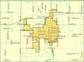
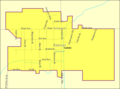
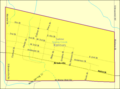
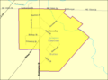
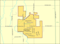
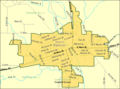
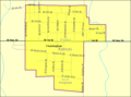
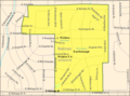
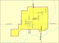
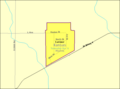
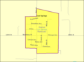
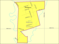
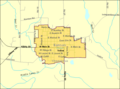
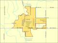
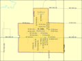
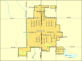
City Maps
To Do: Update text in Wikimedia Commons!
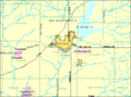
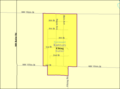
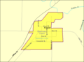
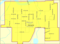
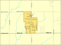
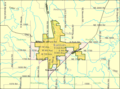
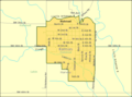
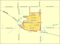
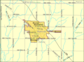
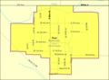
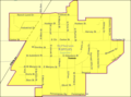
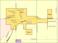
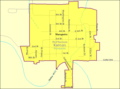
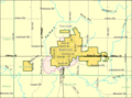
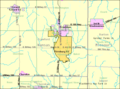
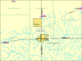
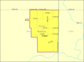
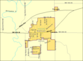
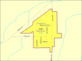
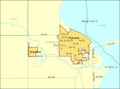
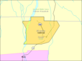
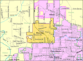
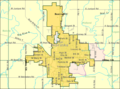
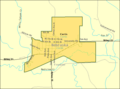
I downloaded the maps from http://factfinder.census.gov, so I could use them in city articles.
- Kansas
-
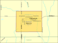
 Abilene
 -
 Alma
Alma -
 Andale
 -
 Andover
 -
 Anthony
 -
 Assaria
 -
 Augusta
 -
 Bel Aire
 -
 Beloit
 -
 Bentley
 -
 Benton
 -
 Brookville
 -
 Burns
Burns -
 Burrton
 -
 Canton
 -
 Carlton
 -
 Cassoday
 -
 Cedar Point
 -
 Chapman
 -
 Cheney
 -
 Claflin
 -
 Clearwater
 -
 Colony
 -
 Colwich
 -
 Cottonwood Falls
 -
 Council Grove
 -
 Cunningham
 -
 Derby
Derby -
 Douglass
 -
 Dunlap
 -
 Durham
 -
 Dwight
 -
 Eastborough
 -
 El Dorado
 -
 Elbing
 -
 Ellinwood
 -
 Ellsworth
 -
 Elmdale
 -
 Enterprise
 -
 Eureka
 -
 Florence
 -
 Galva
Galva -
 Garden Plain
 -
 Garnett
 -
 Goessel
 -
 Great Bend
 -
 Greensburg
 -
 Gypsum
 -
 Halstead
 -
 Haven
Haven -
 Haysville
 -
 Herington
 -
 Herndon
 -
 Hesston
 -
 Hillsboro
 -
 Hope
Hope -
 Howard
 -
 Inman
Inman -
 Iola
Iola -
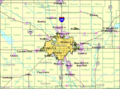
 Junction City
 -
 Kechi
Kechi -
 Kincaid
 -
 Kingman
 -
 Latham
 -
 Latimer
 -
 Lehigh
 -
 Leon
Leon -
 Lincolnville
 -
 Lindsborg
 -
 Little River
 -
 Lost Springs
 -
 Lyons
Lyons -
 Manchester
 -
 Mankato
 -
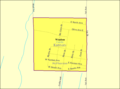
 Marion County
 -
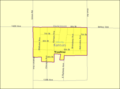
 Marion
 -
 Marquette
 -
 Marysville
 -
 Matfield Green
 -
 McPherson
 -
 Medicine Lodge
 -
 Moundridge
 -
 Mount Hope
 -
 Mulvane
 -
 New Cambria
 -
 Newton
 -
 North Newton
 -
 Norton
 -
 Paola
Paola -
 Park City
 -
 Parkerville
 -
 Peabody
 -
 Pittsburg
 -
 Potwin
 -
 Pratt
Pratt -
 Ramona
 -
 Rose Hill
 -
 Salina
 -
 Sedan
Sedan -
 Sedgwick
 -
 Seneca
 -
 Smolan
 -
 Solomon
 -
 St John
 -
 Sterling
 -
 Strong City
 -
 Tampa
Tampa -
 Towanda
 -
 Valley Center
 -
 Viola
Viola -
 Wakefield
 -
 Walton
 -
 Wellington
 -
 White City
 -
 Whitewater
 -
 Wichita
 -
 Wilsey
 -
 Wilson
 -
 Windom
 -
 Winfield
 -
 Woodbine


- Other States
-
 Anderson, Alaska
 -
 Hiawatha, Iowa
 -
 Marne, Iowa
 -
 New Richland, Minnesota
 -
 Beatrice, Nebraska
 -
 Curtis, Nebraska


Warnings
| This is a Wikipedia user page. This is not an encyclopedia article or the talk page for an encyclopedia article. If you find this page on any site other than Wikipedia, you are viewing a mirror site. Be aware that the page may be outdated and that the user in whose space this page is located may have no personal affiliation with any site other than Wikipedia. The original page is located at https://en.wikipedia.org/wiki/User:Sbmeirow/Gallery/Maps. |
Content Disclaimer
Informasi ini disarikan dari Wikipedia dan disajikan kembali untuk tujuan edukasi. Konten tersedia di bawah lisensi CC BY-SA 3.0. Kami tidak bertanggung jawab atas ketidakakuratan data yang bersumber dari kontribusi publik tersebut.
- The information displayed on this website is sourced in part or in whole from Wikipedia and has been adapted for the purpose of restating it. We strive to provide accurate and relevant information, however:
- There is no guarantee of absolute accuracy. Wikipedia is an open, collaborative project that can be edited by anyone, so information is subject to change.
- It is not intended to constitute professional advice. The content displayed is for informational and educational purposes only. For important decisions (e.g., medical, legal, or financial), please consult a professional.
- Content copyright. Wikipedia is licensed under the Creative Commons Attribution-ShareAlike License (CC BY-SA). This means that content may be reused with appropriate attribution and shared under a similar license.
- Responsible use. Any risk arising from the use of information from this website is entirely the responsibility of the user.